MDSS mCIP
A better way to plan, fund, deliver, and protect public investment
Integration-first capital, grant, and bond management—portfolio and project controls, ERP and P6 interoperability, funding instruments, GIS, documents, workflow, and flip-book publication in one MDSS-hosted mCIP environment.
GIS
Portfolio GIS & location intelligence
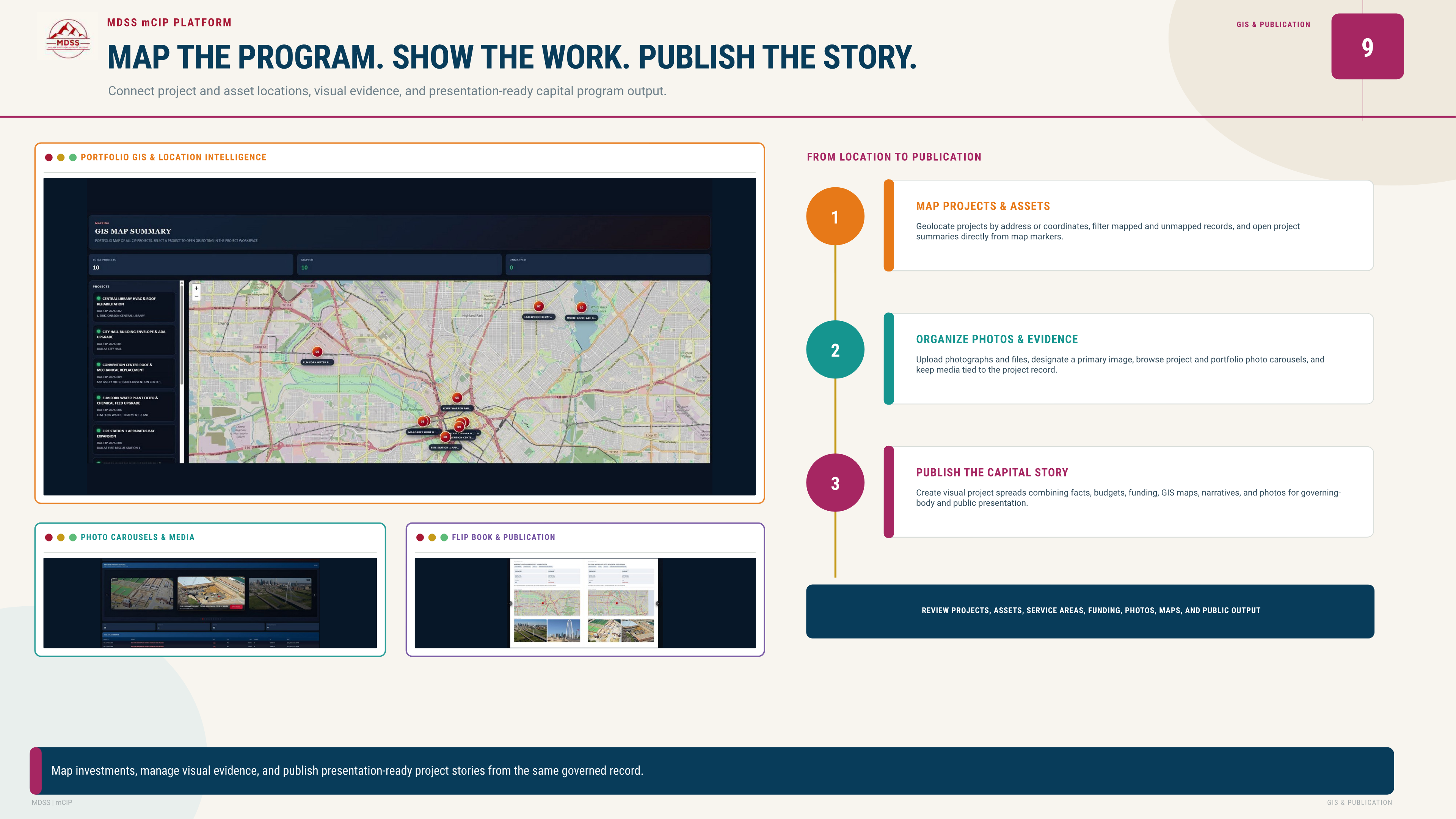
Map the program and connect project and asset locations with visual evidence and presentation-ready output. Geolocate projects by address or coordinates, filter mapped and unmapped records, and open project summaries from map markers—keeping place at the center of capital, grant, and bond stories.
Map projects & assets
Portfolio GIS with markers, filters, and drill-through to governed project summaries.
Service & funding context
Review projects, assets, service areas, funding, and geography in one map-first view.
Photos & evidence
Upload photographs and files, designate primary images, and browse project and portfolio carousels tied to the record.
Publication-ready
GIS maps feed flip-book spreads and public capital stories without re-entering location data.
Location to publication
From coordinates to governing-body and public presentation—same governed record end to end.